Hessian low mountain range near Frankfurt city
Part of the Rhenish Slate Mountains, Taunus covers a surface area of 2,700 square kilometres. The area is characterized by dense mixed forests and agriculturally utilizable areas, inmidst of which idyllic villages and small towns are situated. Its proximity to the Rhine Main area makes the Taunus a favoured greenbelt recreation area.
In the south, Vordertaunus area slopes gently towards rivers Rhine and Main. In the north river Lahn and the Limburg basin form a natural border to the Westerwald forest. At the south slopes, a milder climate compared to the heights of Hintertaunus prevails. It favours wine cultivation in the Rhinegau area. The highest elevation in Taunus with 879 metres is mountain Feldberg.
More information (German): http://www.rheingau-taunus.de/inhalt/o3.cfm?p1=pn
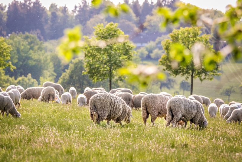
Photo: Sheep in the Taunus, Bildagentur Zoonar GmbH/Shutterstock